The City of Legofield
Here are some maps showing the city of Legofield.
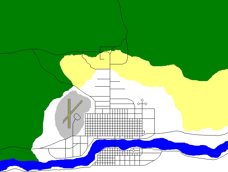
This map shows the geography of Legofield. The green is forest, the yellow is farmland, the blue is major bodies of water, and the grey is airport territory.
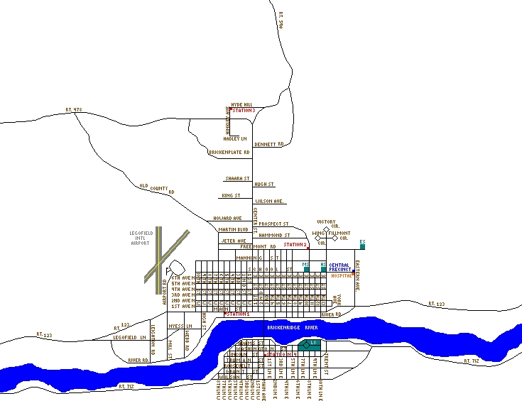
This map shows all the street names and the locations of the Fire Stations, Hospital, Police HQ, and the schools.
Updated by Ryan Dennett on 09/18/01